Napa Valley Vine Trail
Route Review
We biked the Napa Valley Vine Trail from Napa to Yountville, then biked back via the Silverado Trail.
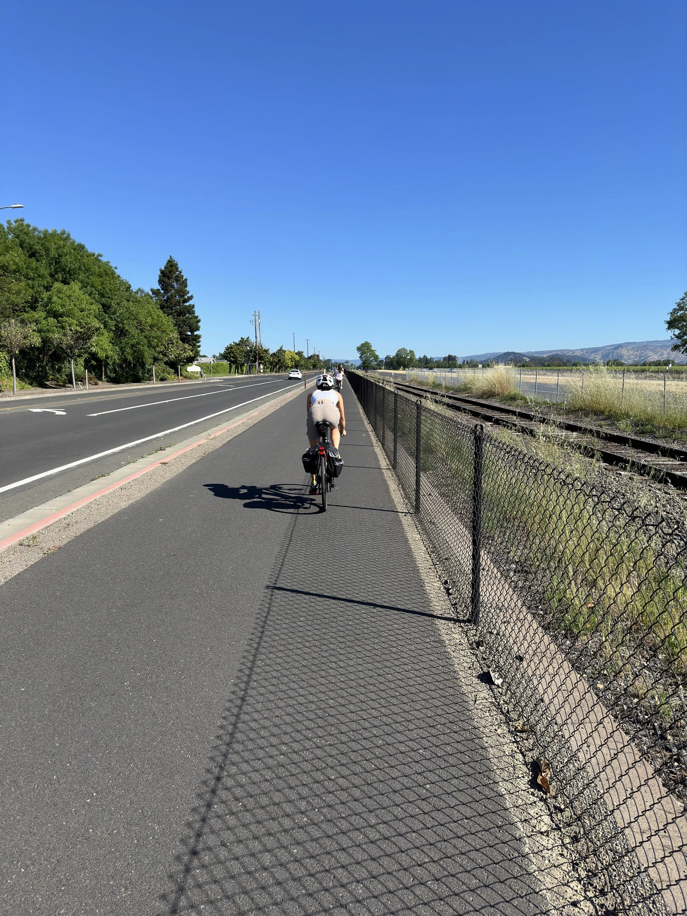
The Napa Valley Vine Trail runs from John F Kennedy Memorial Park in Napa to Yountville. It is 12.5 miles long and is a fully paved bike trail with varying levels of scenery. On the other hand, Silverado Trail is a two-lane road where cars go pretty darn fast—on the upside, the bike lane is large without any cars parked in it.
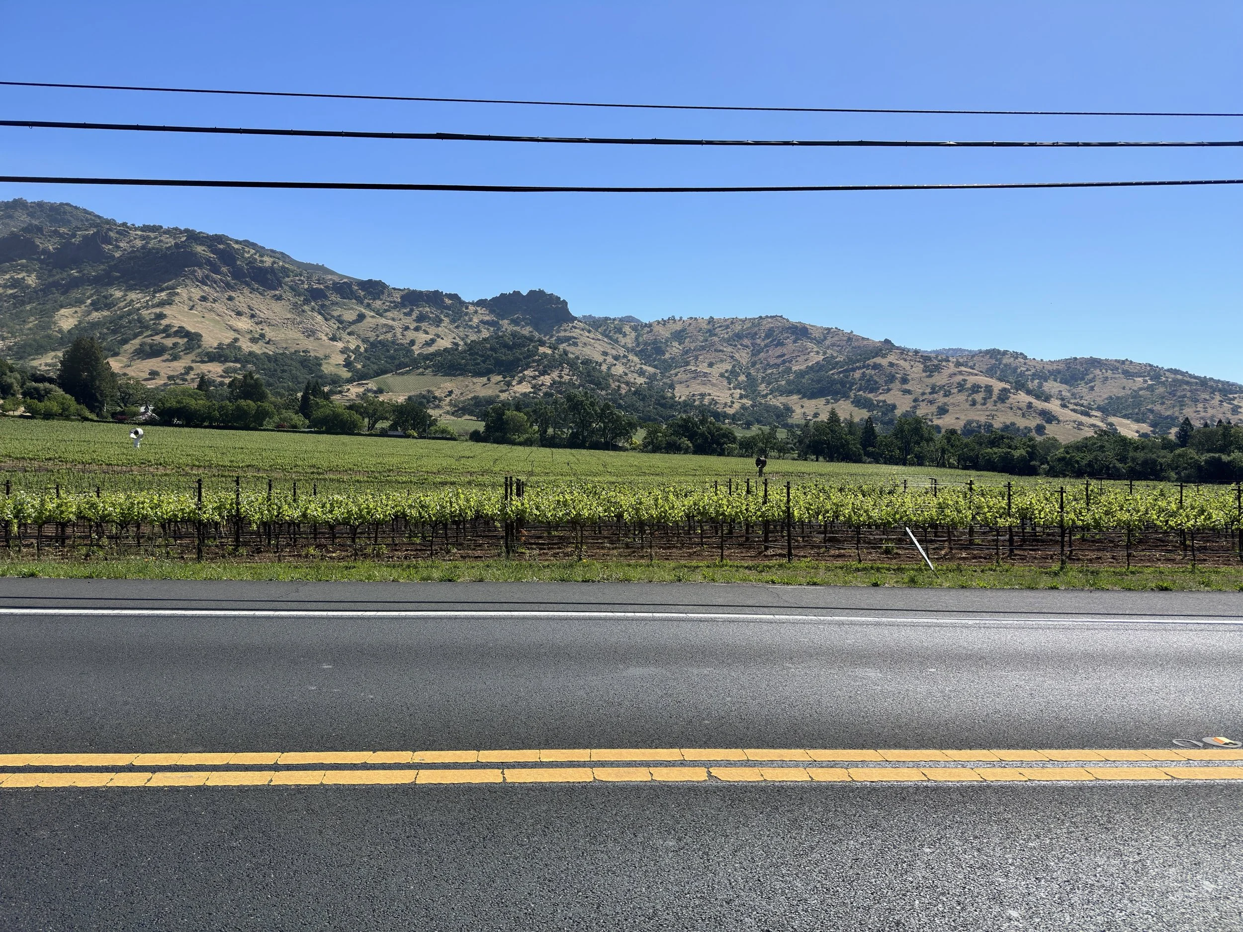
The scenery, once we got out of the city of Napa, was gorgeous, with pretty vineyards all over the place. The downside is that much of the Napa Valley Vine Trail runs along Highway 29 which is not the most picturesque highway.
The perverse amount of vineyards means that there are plenty of places to stop for snacks, water, and restrooms (as well as wine). We did not partake, but I can see others loving it.
There were more than a few people on the trail, but it was less than I had expected, with this being Napa and cycling being a fun sport. On the Silverado Trail, we saw only one or two other cyclists.
What I Learned
Biking through Napa vineyards sounds amazing on paper and it started awfully nice, but when the sun was high in the sky, it was just okay (it gets quite hot). Still, I was glad to have it checked off the list of places I wanted to explore.
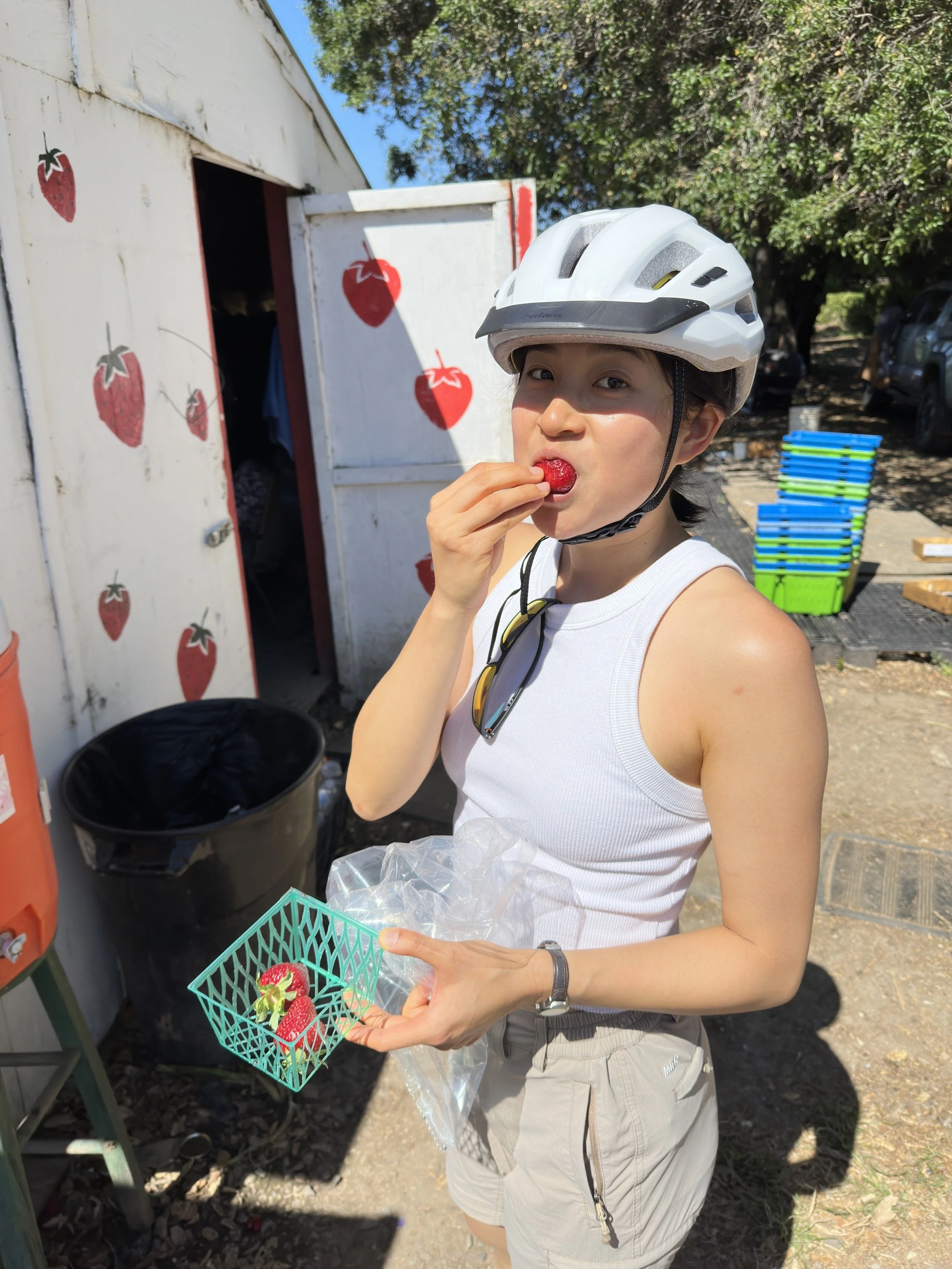
There was a strawberry stand on Silverado Trail aptly named “Strawberry Stand” and it sold the best strawberries that I’ve ever tasted. They also sold cherries and they were yummy too! They made for a great mid-ride snack.
What Happened?
27.2 miles, 2 hr 54 min, 883 ft of ascent
A few years ago, while researching worthwhile bike trails in the Bay Area, I came across a recommendation that cycling the Napa Valley Vine Trail was a great bike ride. I remembered that cyclist stating that riding back on Silverado Trail was no fun due to the cars whizzing by at high speeds. I had gotten used to fast cars from my commute, so I didn’t think much of it.
Cassie and I made it to Napa early in the morning, parked at John F Kennedy Memorial Park, and started riding north. At first, the Vine Trail went through city streets and alleyways. While I found it too urban for my tastes, I did find the street art adorning the Vine Trail to be attention-grabbing. Once the Vine Trail hit Highway 29, the views opened up—at least to the west, away from the highway. There were even nice bits of shade to be found, although most of the ride was unprotected from the sun.
When we got to Yountville, there was a prominent vineyard, but neither of us wanted a drink, so we continued on to Yountville Cross Road. On the way, we stopped by the Napa River Ecological Reserve—but didn’t spot many animals or birds. However, I did see a tick hanging out on a tall blade of grass—we avoided it and checked each other for ticks afterward.
We continued on and rode the Silverado Trail down south. The scenery was better than the Vine Trail, though as advertised, the cars were going very fast. When we were close to Napa, we stopped by the fruit stand and recharged ourselves before sprinting back to Ramona. The day was getting hot, which was just perfect given that we were planning on rafting to Downtown Napa for lunch!


