Dipsea to Matt Davis Loop

I parked off of the Panoramic Highway near Stinson Beach and I started my hike in a hurry. I had started off later in the afternoon than I’d preferred, so I knew I had to make good time.
About half a mile into the hike, I passed a couple of hikers who were in a very passionate kiss in the middle of the trail. I didn’t make eye contact and walked on, but it made me feel a little lonely and I probably thought of that couple 20 times on this hike.


When I met Hill 640 Fire Road, I wasn’t sure if I’d have the time to stop by Stinson Tree, but I threw caution to the wind and headed towards the tree. I had assumed that it would be some fancy trail next to a lookout point, but what I found was a wonderful DIY-looking swing on a Eucalyptus tree. People who were swinging on it happened to leave when I got there, so I had to take pictures and sit on the swing for a bit.
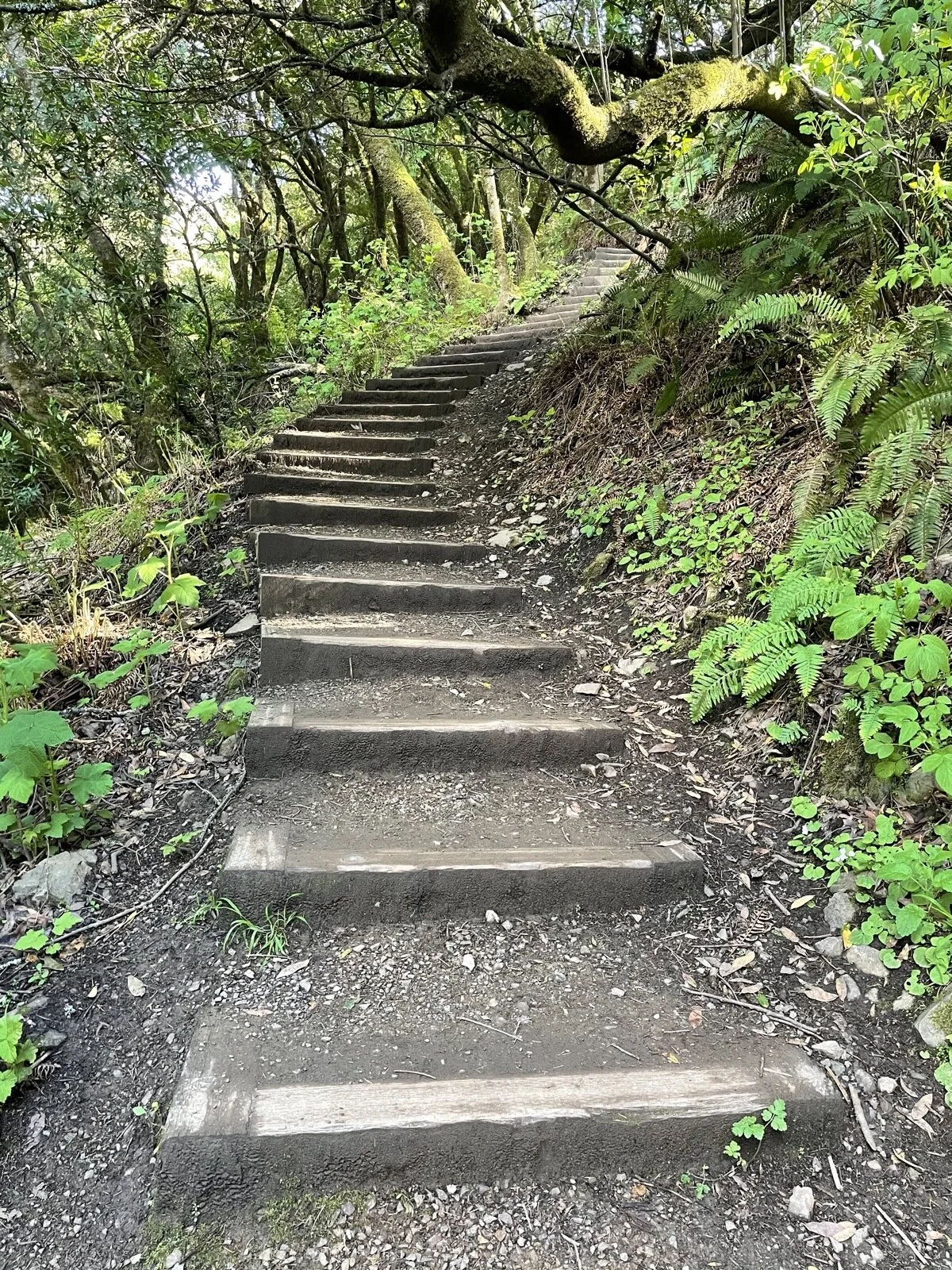
After that rest, I started up on the Dipsea Trail and things got steep real fast. It was just stairs after stairs and this was the point where I shed all my extra clothes and wished that I was hiking in shorts instead of pants. Still, I made it up to Cardiac Hill, turned left and hiked up Old Mine Trail.


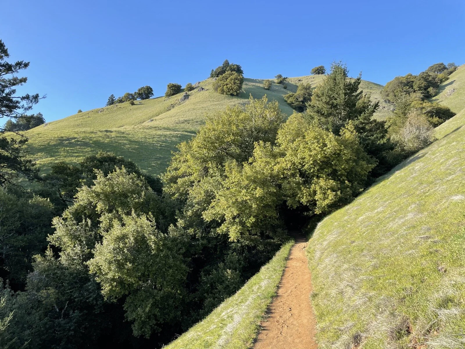
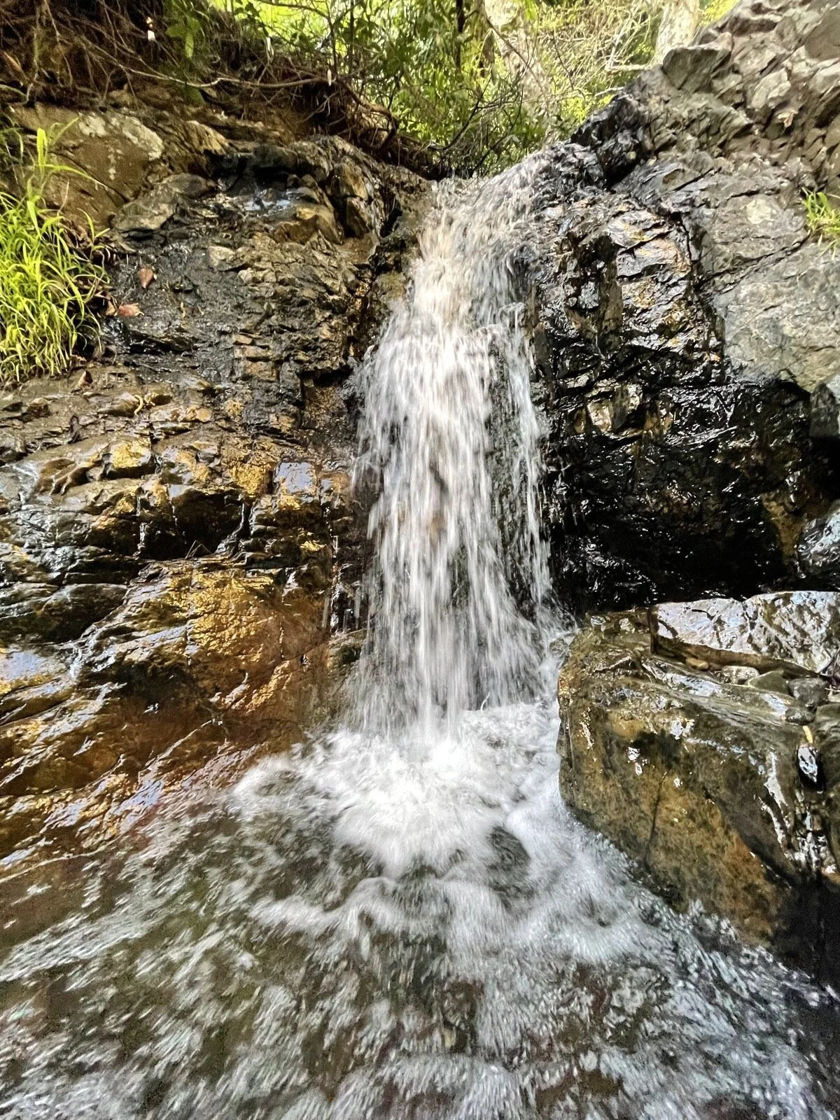

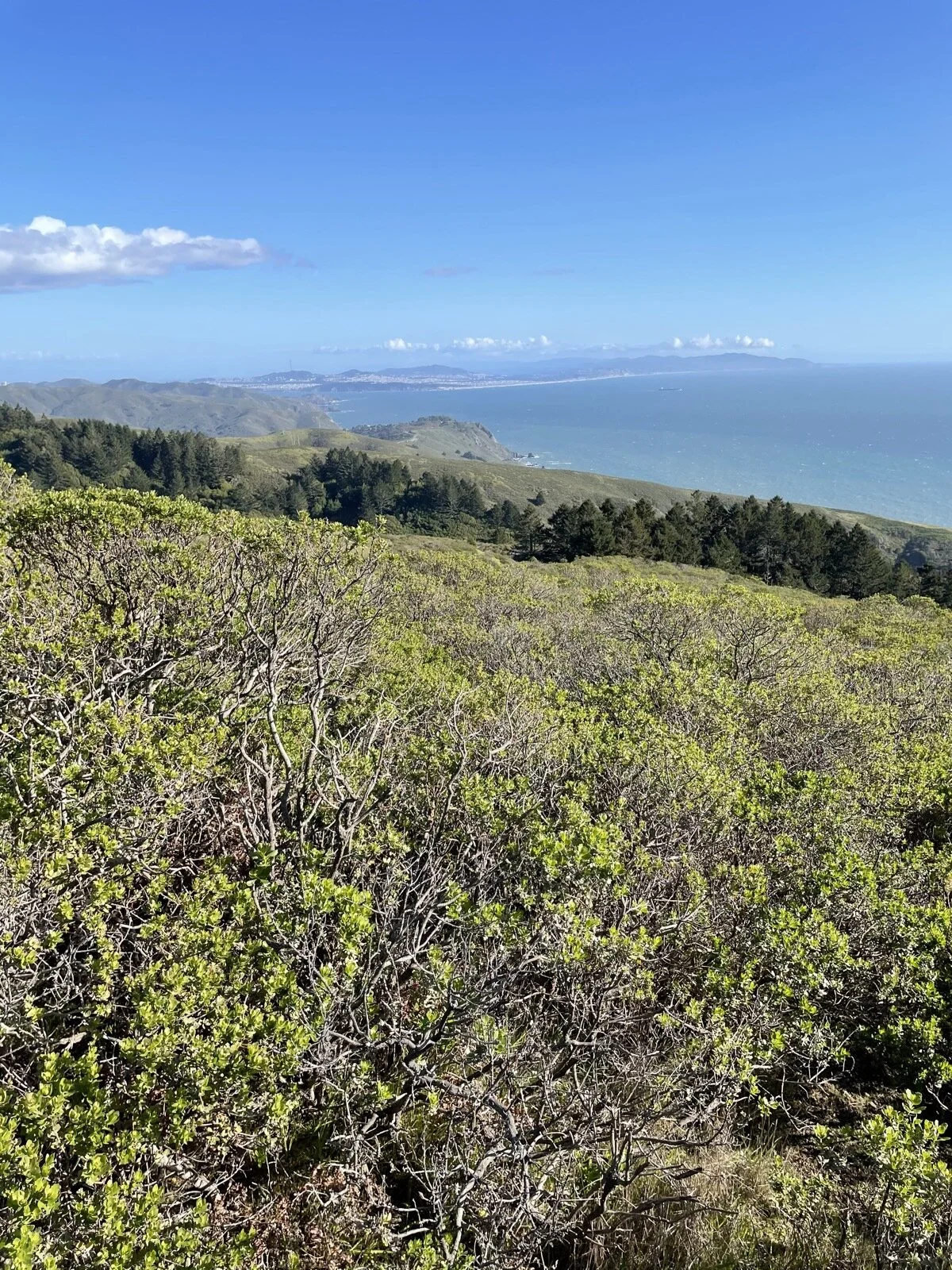
After crossing the Panoramic Highway, I found myself on the Matt Davis Trail, and it was literally all downhill (in terms of elevation) from here. I found this part of the trail to be the prettiest, as it switched between the views of the bright, dry hillside, and the dark, wet ravines when the hills folded on each other. The trail then loses elevation in a hurry. I found myself with the last light of the day as I got back to the car—just in time.
What I Learned:
While I could have started early, hiking during sunset did afford me just beautiful views on the last quarter portion of the hike.
Hiking with headphones is great in that I’m less bored and I can listen to a wonderful book, but it does rob me of interactions with friendly hikers.
I should have hiked in convertible pants, so that I could have hiked the most difficult parts in shorts.
I ran out of water near the end. Had I had a water filter, I could have refilled at the various flowing creeks on the trail. I did get to refill at Cardiac Hill, which had faucet.
I over-worry, which means I can afford to take small detours on the trail without much negative consequences.

9.3 miles, 3 hrs and 30 min, 1616 ft of ascent
Hike Review:
It was one of the most beautiful trails I’ve hiked in California. The standout was the different types of terrain and views.
The elevation gain does occur in short stretches, and this is definitely a difficult hike. Comfortable shoes are a must.
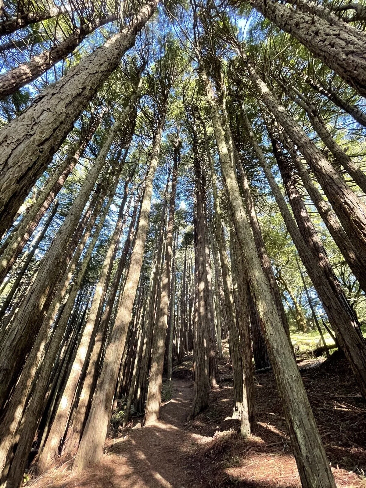
About 1/2 of the hike is in the open, the other half in shaded forests.