Point Reyes - Alamere Falls

I read somewhere that Alamere Falls and McWay Falls are the only two waterfalls that spill out to the beach in California. Since Alamere is so close, I had to hike it.
My friend and I started this hike in the morning, but at 9:30am in the morning, the parking lot was full, so we had to park on Mesa Road, 1/2 mile from the Palomarin Trailhead.
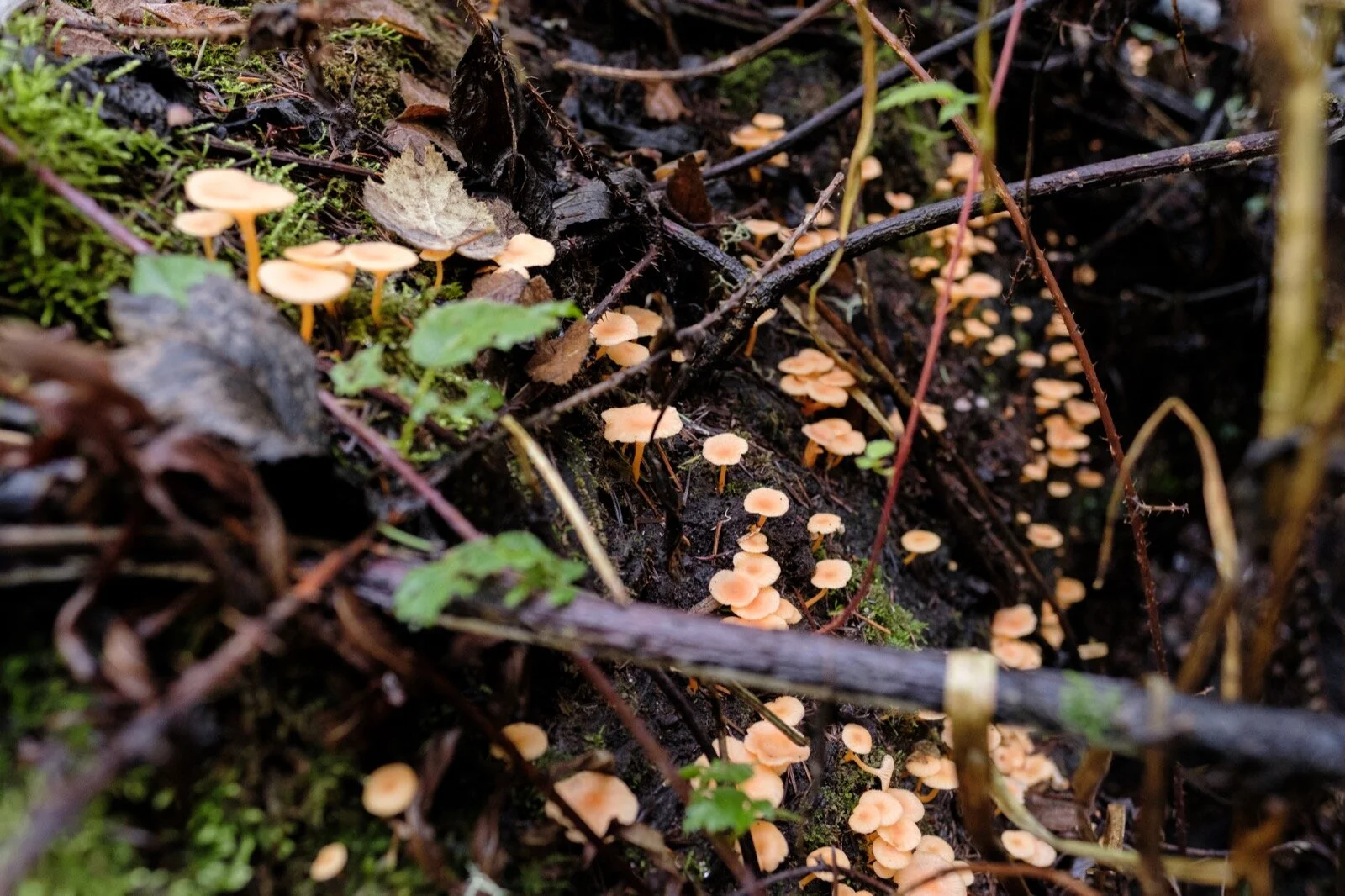
Because it had rained the previous week, we ran into various mud puddles, but they were easy to side step. There were two or three points in the trail where these mud puddles covered the entire trail, so we had to carefully step on the shallowest points to avoid getting mud on our socks. The rain also caused mushroom blooms on various parts of the trail.

The first third or so of the hike is along the bluffs overlooking the Pacific Ocean, so it’s pretty, but exposed with little shade. Then you go through a ravine with tall hills on either side, and I thought that this part was the most beautiful part of the trail.
After about 4.5 miles or so, right after the trail intersects the Pelican Hill Trail, there are these rocks arranged on the trail to form an arrow that points the way to the Alamere Falls Trail. At first, you go through various tree tunnels, some that are only 3 ft off the ground, making you crouch down as walk through it. I took a break to take this video of the morning dew evaporating as the sun warmed up the trees around me.
We then climbed down some slippery rocks to the beach and enjoyed the fruits of our labor. The beach was crowded, however, everyone was nice and orderly—there was a selfie line, which is where the top photo accompanying this post was taken.
We headed back up to the bluff above the waterfall, had lunch, then hiked our way back to the car.


What I Learned:
I walked this trail with a friend, and it was really nice having company. The conversations were really fun too.
I hurried myself when I was taking photos or videos and I need to learn to just take time and relax. My friend was totally fine with me doing my thing and I didn’t have to give myself a guilt trip for naught.
It had rained the previous week, so there were sections of the trail where you had to get mud on your shoes. I hiked this with tennis shoes, but managed to not get my socks wet. My friend was not so lucky.
The official trail is 4-5 miles longer, where you have to hike to Wildcat Campground, then walk a few miles on the beach to the waterfall. There is a well marked “shortcut” that everyone seems to take. To get there, just look out for an arrow shaped rock formation in the middle of the trail that points the way.
The final descent down to the beach is super sketch. If you fall near the top, you’re going to fall all the way down and get seriously hurt (and probably injure everyone below you as well).
There are some jackasses that like to hike this trail. When I came back to the car, someone wrote “Fuck off” and drew a penis on my back window with some super sticky/glue like substance. I was unable to take it off w/a towel, and I ended up taking it off by using hand sanitizer, whose alcohol content allowed me to scrub it off. I parked in a legal spot that the ranger told me to park at, so the only explanation I could come up with was that these people were jackasses.

10.2 miles, 5 hrs and 35 min, 1239 ft of ascent
Hike Review:
Beautiful trail the whole way through.
The trail keeps things interesting. You’re either looking over the ocean, walking through ravines, strolling next to a lake, walking crouched through a tree-tunnel, or scampering down a Class 3 section. Then you’re doing it all over again on the way back.
It’s mostly exposed, there are small sections where there is coverage, but don’t count on it.
The elevation gain is unlike hiking a mountain where there’s the obvious section where it’s uphill versus downhill. On this trail, there is elevation gain and loss the whole way through.