Kennedy Mountain via Lewis Creek

MVP
Aonijie Carbon Fiber Trekking Pole—Unlike most of my other hiking trips, I knew that I would need all the help I could get, so I used the trekking poles from the start all the way until the end. I don’t think I could have done this hike without these.
Garmin Instinct Solar—While I had to turn off my iPhone mini 12 near the peak to conserve battery in case I needed to use it as a flash light, my GPS watch kept up with me beautifully. Even with me using the most battery intensive tracking method, I still had 13 hrs of battery left at the end of my hike.


Hike Review:
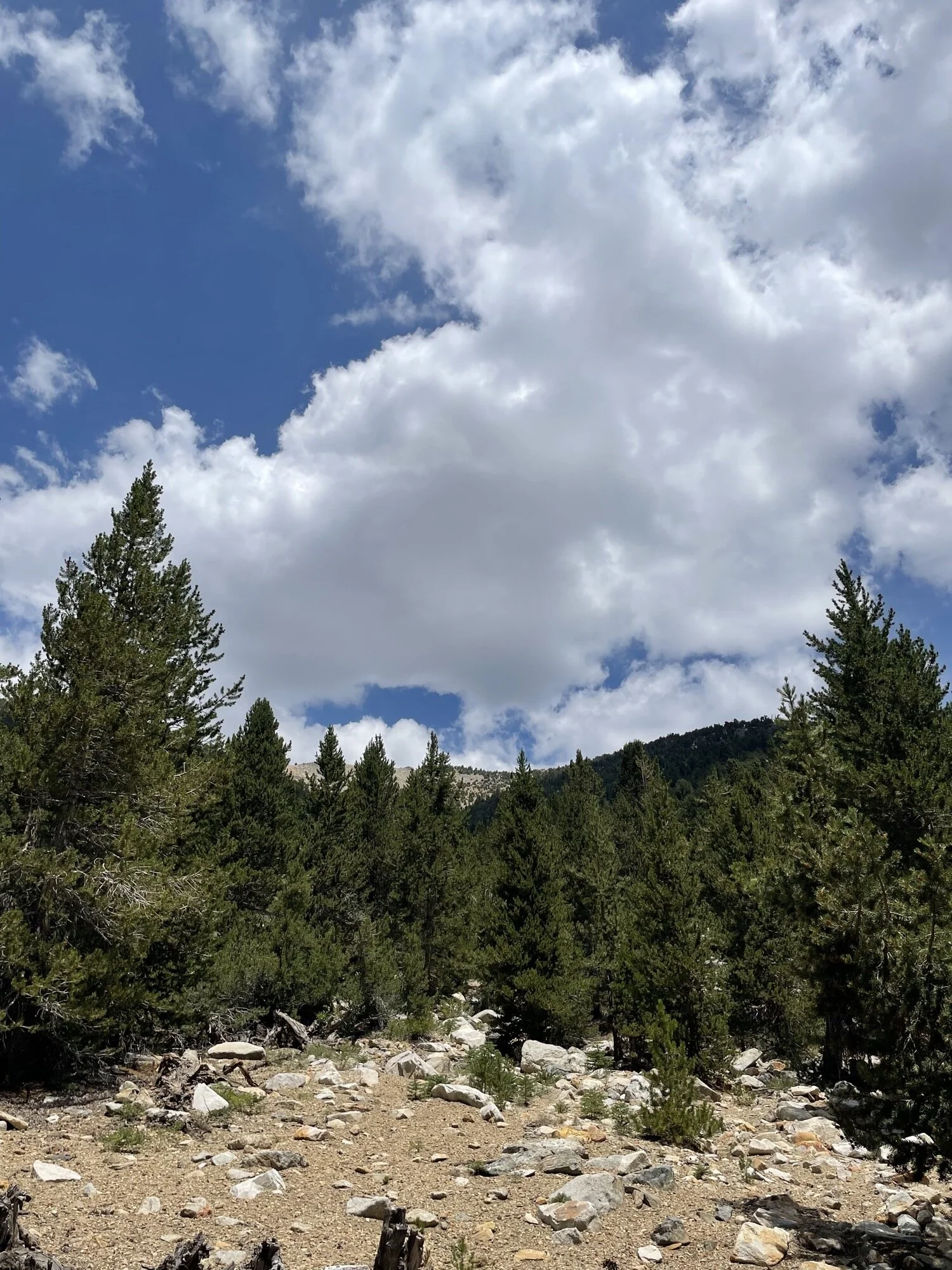
A super difficult, but rewarding hike—from the top of Kennedy Mountain, you get an unbelievable view of Kings Canyon National Park.
There was nary a soul hiking this same trail. I only ran into two people backpacking on the way back down during my entire day on the trail.
There were half a dozen fallen trees one had to climb over, but otherwise, the trail was clean.
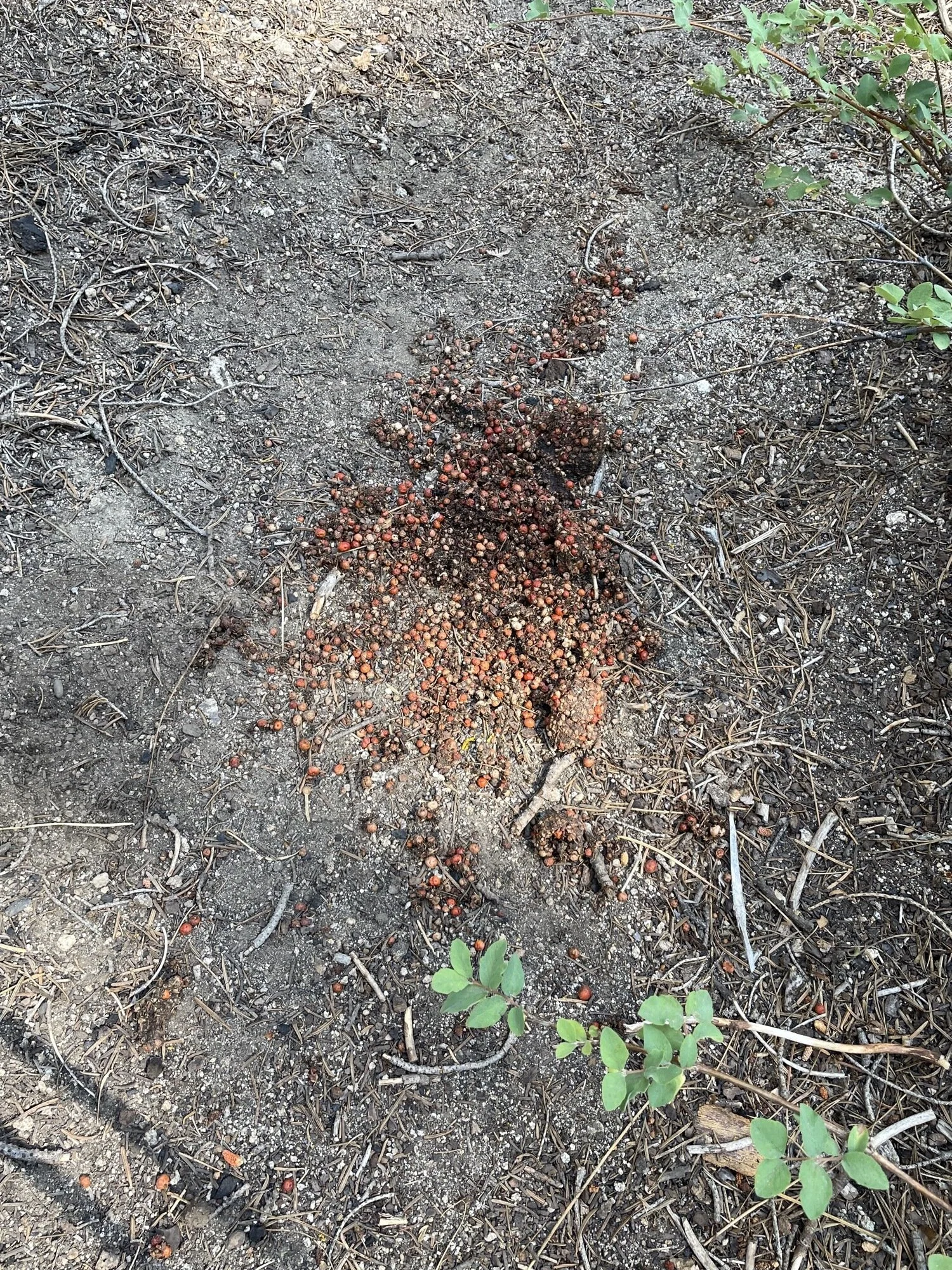
There were, however, 8 fresh bear scat on the trail. About 5 before Frypan Meadow, and 3 near Kennedy Pass. This kept me on my toes, which meant I was whistling a lot.
There is not much shade on the trail, but the clouds in the afternoon kept things cooler than they would’ve been.
When I got to the trailhead, there were illegal campers (there was a restriction in place the forbid camping at the trailhead), but there was enough room to park, so it didn’t bother me much.
The trailhead bathroom was cleaner than I expected. Not bad at all.
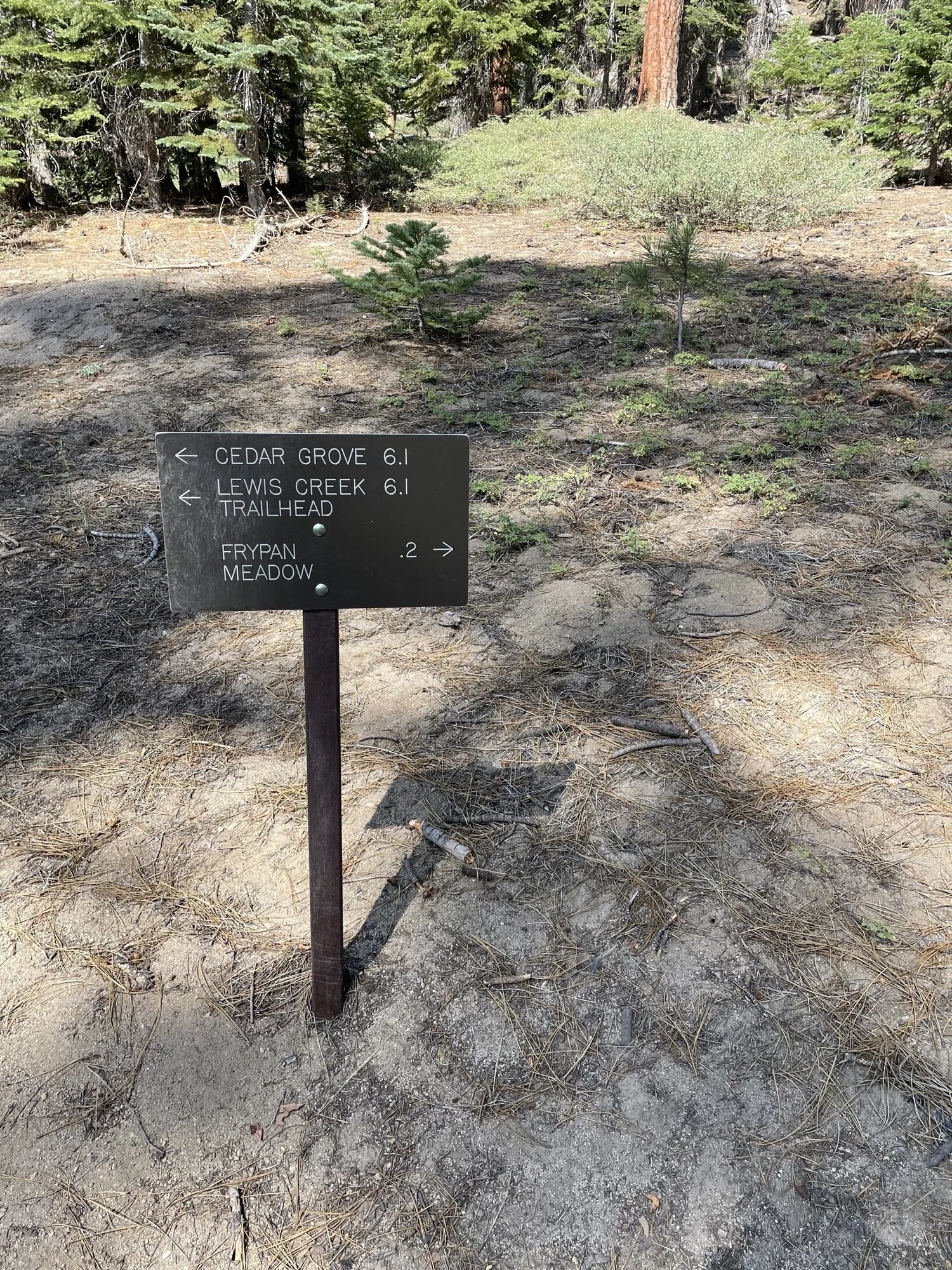
Lewis Creek and Kennedy Pass Trail both had segments where it was really hard to stay on trail. I was so glad that I had my iPhone to help me walk back to the trail when I lost it.
What I Learned:
The most elevation I had gained in a day before this trip was my hike up to Upper Yosemite Falls, which was 3589ft. I almost doubled the elevation gain on this day hike. I had an inkling I could do it, but I proved to myself that I was capable of much more than I had thought.
The most distance I had hiked in a day before this trip was my hike at Henry Coe, which was 18.3 miles. I almost walked 4 more miles than that. Again, I was capable of so much more than I had thought.
My left ankle felt weak, kind of like it was weak, around mile 19-20. After mile 20, it felt fine. It did make me a bit nervous.
So much dust, dirt, rocks, nettles, etc got on my socks and my feet that I almost wished that I carried a second pair of socks I could switch to after about 15 miles or so. If I was backpacking, maybe I should carry a second pair of socks.
The Garmin watch’s GPS+Galileo tracking is more accurate than my iPhone 12 mini’s. Not by much, but still more accurate.
I ate an apple strudel in the morning, and only carried snacks. I consumed 2/2 vacuum sealed cooked chestnuts, 2/3 Kirkland Trail Mix bags, 1/3 liter of Shrimp Chips. I didn’t eat much on the way down (and didn’t eat dinner until about 9:30pm).
I brought 1.75 liters of water and they worked out really well. There were multiple streams of water, so I just replenished every time I crossed a stream. All the creeks I saw on the map (except two near Frypan Meadow) were flowing, which surprised me. The most important one, near Kennedy Mountain was barely still flowing. I don’t think it’ll be flowing by next week. If that was not available, I would’ve had to hike an extra mile or so to fill up at East Kennedy Lake.
I used a fanny pack along with my REI Flash 22 backpack and that combo worked out super well. The camera + pocket knife went into the fanny pack and was easily accessible (and the weight rested purely on my hips, which saved my shoulders). I never thought I’d be a fanny pack guy, but here I am.
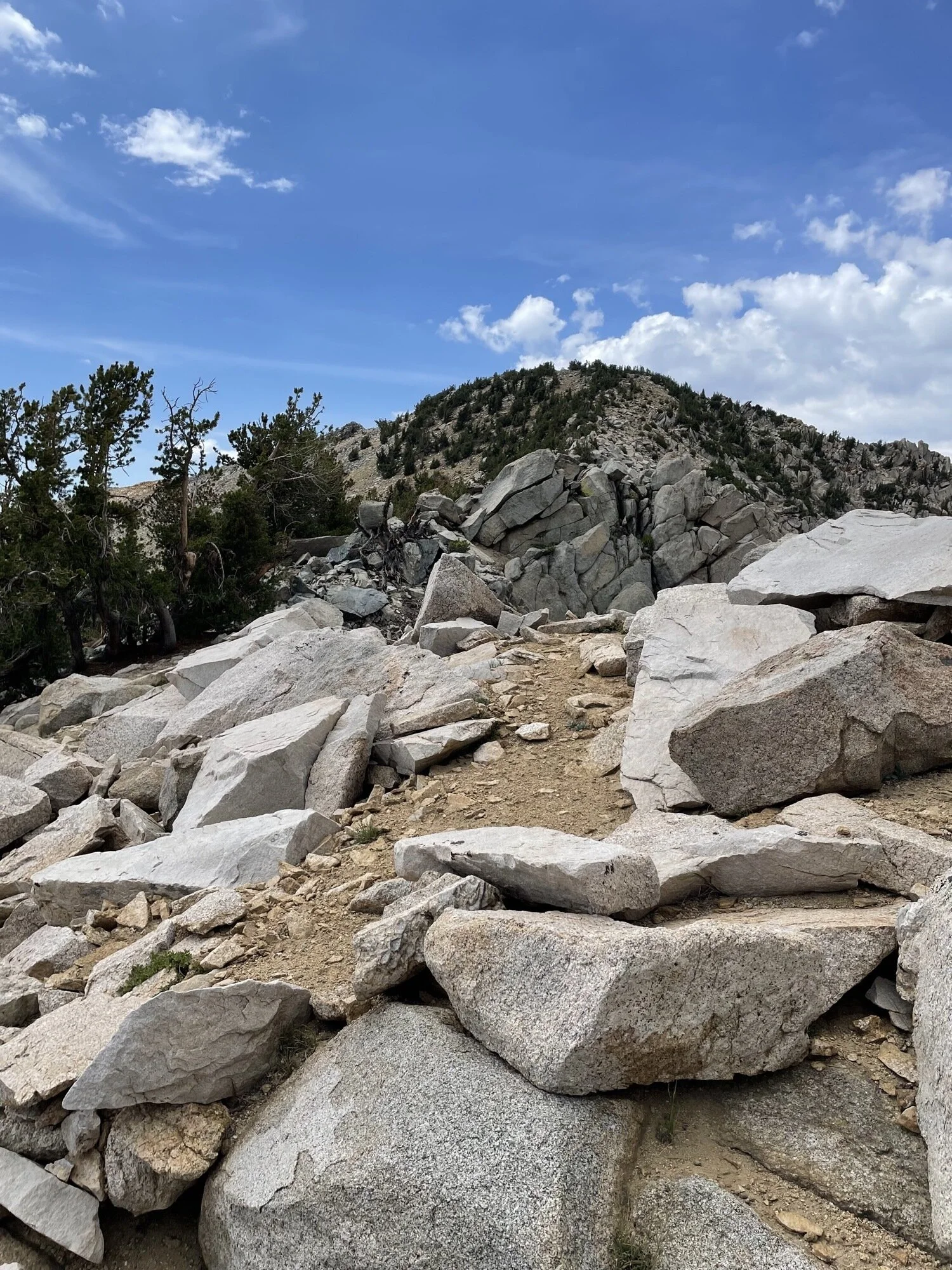
The last 1/2 mile up to the summit was advertised as class 2 and it was 2+, I would say. Maybe I just took a bad route, but I came to a couple of points where I had to climb up some granite rocks (where I got lots of scratches/cuts on my exposed legs).
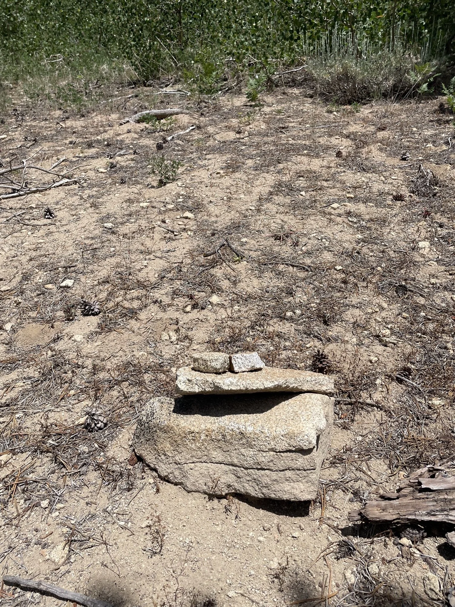
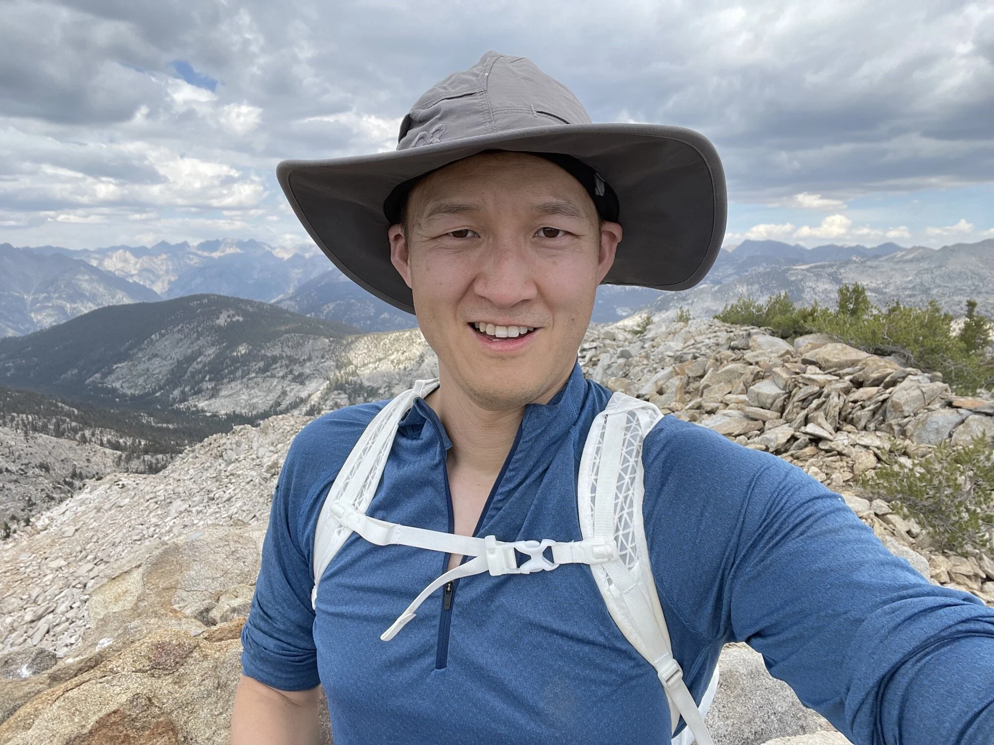
It was the first time I wrote in a summit register. It made me giddy to write on it and quickly check out how many people had made it to the peak in 2021. I was the fifth entry.
Because I made it to the peak slower than I thought I would, I only spent about five minutes at the peak. Glad I didn’t spend any more time as I made it back to my car just as daylight was fading.
I didn’t get blisters although I didn’t take any breaks the whole way down. I’m sticking with these Carhartt socks and New Balance trail runners.
What Happened?

22.3 miles, 14 hrs 4 mins, 7443 ft of ascent
I got to the trailhead and started hiking a little after 6am. I had previously planned to start at 5am, but I gave myself an extra hour after falling asleep a lot later than planned.

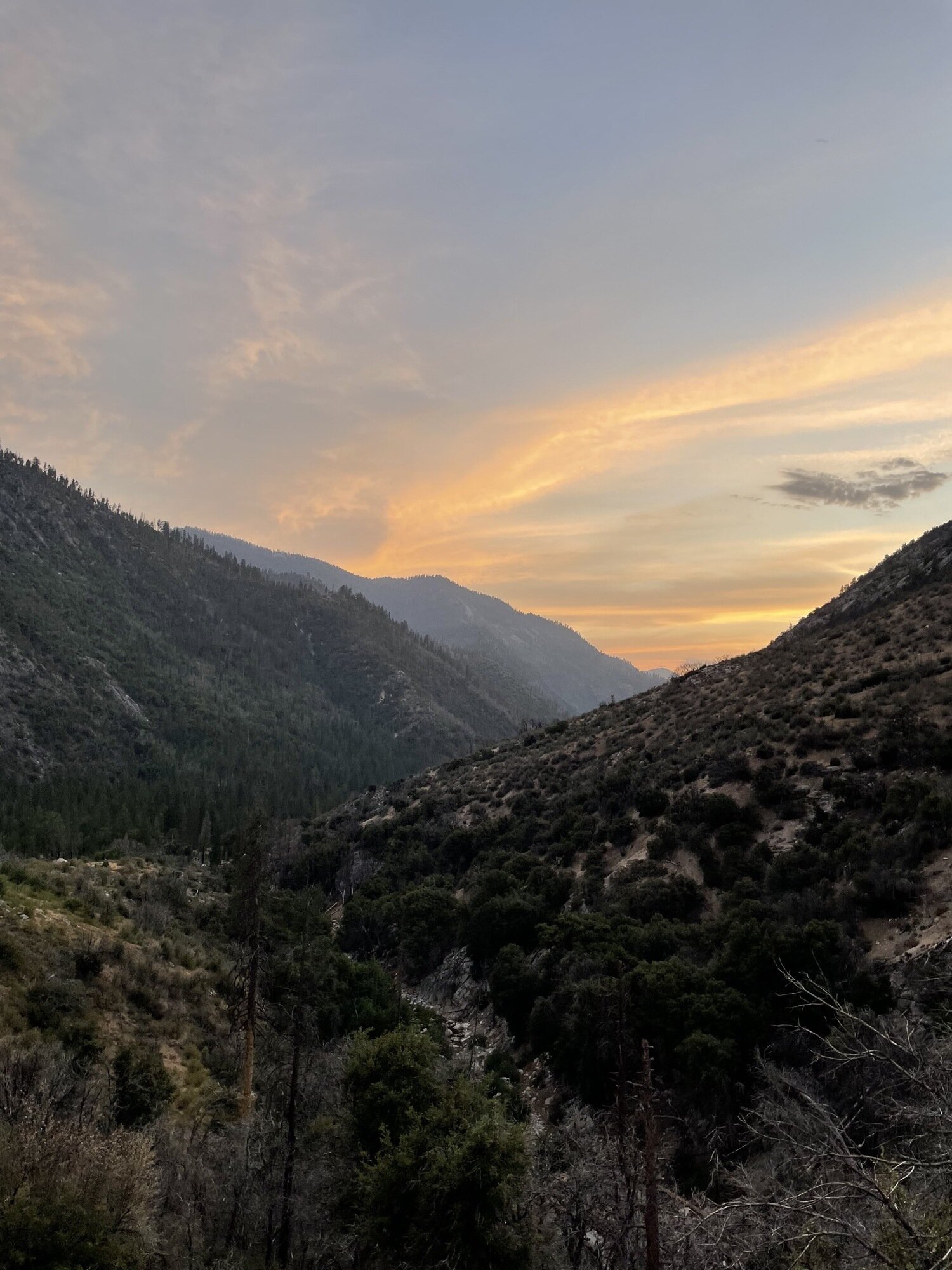
This trail is an ascent all the way up, but the first 5 or so miles are leisurely compared to the back half. I really enjoyed the first 5 miles as I thought the views were just gorgeous, the temperature was almost perfect (around 60 degrees), and I was in great shape.

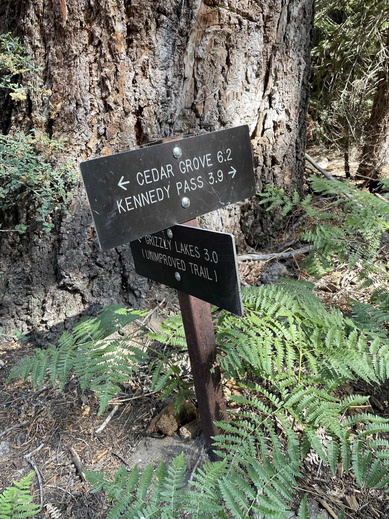
When I got to Frypan Meadow, I thought that maybe I should give myself a nice long break, but because I had started an hour later than planned, I just kept going (later I was really glad that I kept going). With less than 5 miles to go to the summit, I was feeling really good, but that good feeling soon stopped. I had moved at around 2 miles per hour up to this point, but after this, I dropped to less than 1 mile per hour. Still, I just kept going and going and I got to Kennedy Pass around 2pm.

During this part of the trail (Frypan Meadow to Kennedy Pass), I was refilling water, and had the Sawyer Squeeze off the water bottle. I got absent minded and drank a gulp of unfiltered water before I spit out the rest of the water in my mouth. I got lucky that I didn’t get sick from it, but I really have to pay attention more in the future.

At Kennedy Pass, Knowing that I didn’t have a flashlight, I had a big decision to make, which was do I keep going to the summit or not? I knew that the last 1/2 mile to the summit would take a long time, given how tired I was and that there isn’t an established trail. Physically, I didn’t have any issues, so I pushed on. A quarter mile in, I thought I had reached the summit to see that the summit was another quarter mile away. I was really distraught at this point. I felt like a god somewhere was messing with me by moving my goal further away from me. Still, I pressed on and got to the peak around 2:40pm.

At the peak, I was straight up giddy. I took a bunch of photos, then I wrote my name in the summit register. I had no time to rest though, so after about 10 minutes, I started heading down. I took a better path down, so I didn’t get scratched up too bad on my way down from the peak.
The 11 miles down was pretty uneventful. I was continuously reminded of the abrasive dirt and sand in my socks, but I knew that I just had to keep going. My body felt fine though, and tried to hike at a 2.5+ mph pace (but only managed 2 mph). I noticed that I wasn’t drinking lots of water on the way down, but I kept drinking at least a few sips to make sure that I wasn’t getting dehydrated. Oh and I had to turn off my phone due to battery use (though in future hikes, now that I trust my watch, I won’t have this issue), so I didn’t hike with an audio companion. Still, the mental focus required to not fall kept me busy enough.
I was worried about not making it back to my car by daylight, but I beat it out with about 10 minutes to go. At the car, I gave myself an impromptu upper body shower with the remaining water and started driving back.