Windy Hill Open Space Preserve

Hike Review:
Much like other preserves overseen by the Midpeninsula Regional Open Space District, the trails are clean, clearly marked, and a joy to hike.
I started on the corner of Alpine Road x Willowbrook Drive and hiked up Spring Ridge Trail and then down the Razorback Ridge Trail. Spring Ridge Trail was completely exposed, while Razorback was fully shaded. The Lost Trail, which connects the two, was also shaded.
The trails were hard packed and easy to grip with my trail runners.
I had pretty weak (but steady) 1 bar of usable LTE on T-Mobile for most of the trail.
On the Lost Trail and the higher elevation parts of Razorback Ridge Trail, my bluetooth headphones kept dropping connection, which was annoying.
The views from Windy Hill and Herb Grench Overlook were spectacular.
What I Learned:

With very little wind in the Bay Area, it was interesting to see how the smoke from the wildfires settled in the lower elevations. I mean, purpleair.com told me this before I started the hike, but it was interesting to visually see.
There is a small parking lot (and crowded street parking) at the trailhead, so I’m glad I started my hike around 7am. When I finished my hike at 10:30am, there was zero parking available.
Media Consumed:
The Bill Simmons Podcast + Music
What Happened?
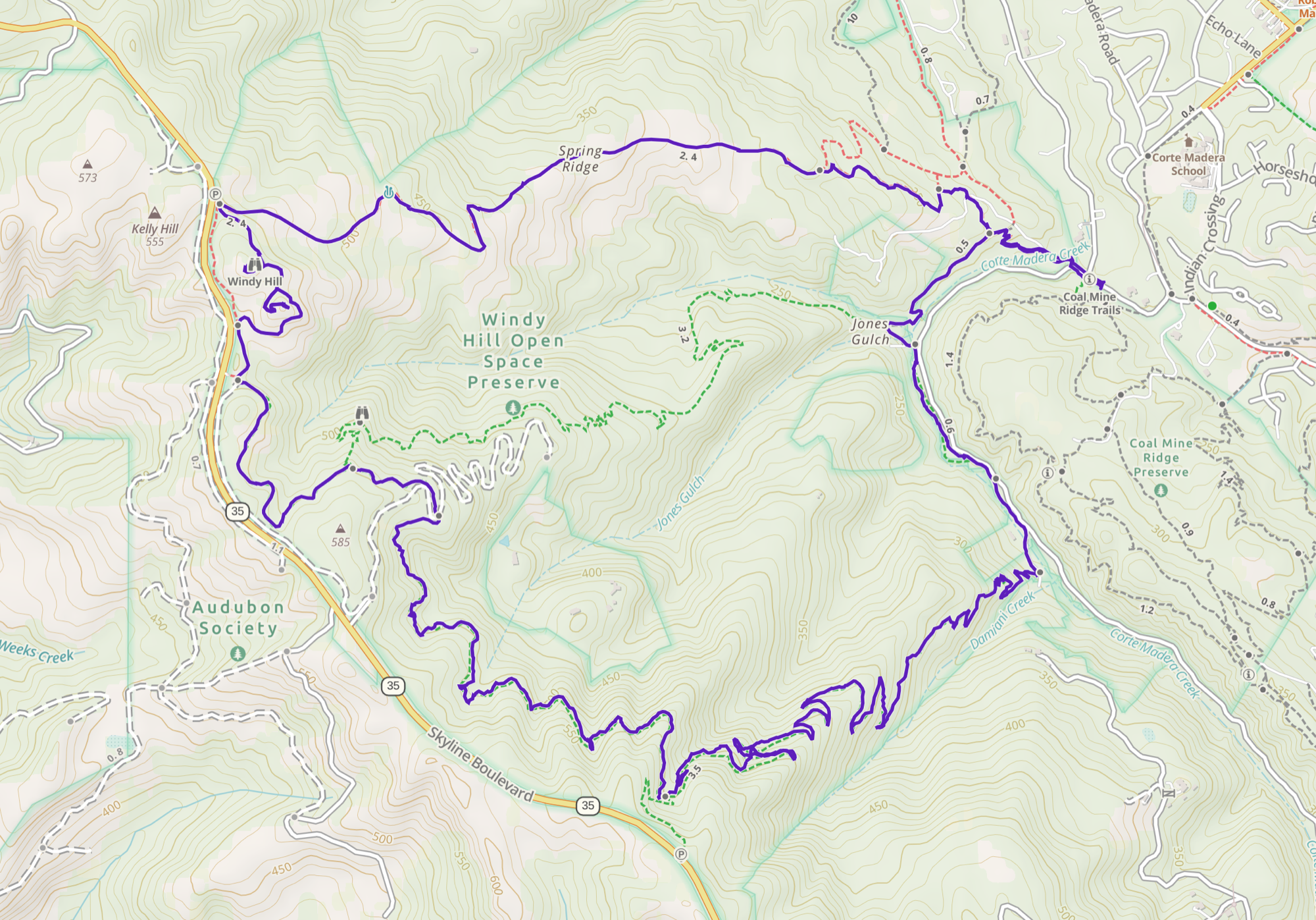
9.55 miles, 3 hrs 36 mins, 1787 ft of ascent
I really wanted to hike Mount St Helena, but the air quality up in Sonoma was around 150, so I searched for clearer air. What I found on purpleair.com was that the Santa Cruz Mountains had plenty of clean air, so I decided to hike up Windy Hill.

My role model couple is on the bottom right side of the image.
The hike was pleasant, mostly due to the cool morning air. I was slower than usual, but was still happy with my general pace, given the number of activities that I had done the prior few days. What surprised me the most was this couple (they were definitely over 70 yrs old), who kept at hiking pace that was only slightly slower than mine! I really hope that when I’m 70+ yrs old I can hike as fast as they can!
When I made it to the top, it was interesting how there were two hilltops... for the price of one hike! What a deal!
After that, I kept on the Lost Trail and decided to go down Razorback Ridge Trail instead of Hamms Gulch Trail. I chose the former because, I just wasn’t tired and I thought if I could spend another hour or so on the trail, it would line up with lunch time a bit better.
The southern half of the Lost Trail was prettier than the northern half, with lots of shade and cool air. The aforementioned bluetooth issues were annoying, but it was nice and quiet, so it didn’t diminish the hike any.
Actually, I forgot to mention the Eagle Trail (which connects Razorback Ridge Trail to Hamms Gulch Trail so that I could get back to my car), is super pretty and runs along a creek. I met a group of ladies walking their dog (I forget his name) and the ladies stated that I couldn’t pass them unless I gave the dog some love. I was glad to spend a minute or so petting the dog, who was just the gentlest dog I’ve ever met. When I finally left, one of the ladies said that I totally spoiled him! I guess I showed him a little too much love.


